Day #10 Botnhamn /Skrolsvik
Maps, Charts and Key figures
07:51’00 Duration
15.70 Average speed (km/h)
122.90 Distance (km)
1211 Ascent (m)
1222 Descent (m)
Better together
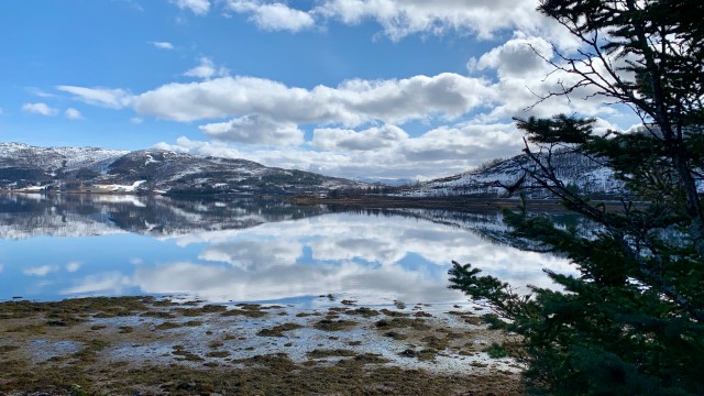
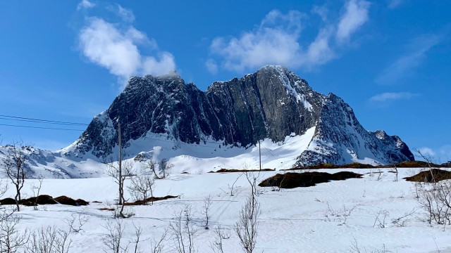
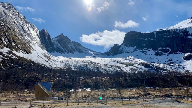
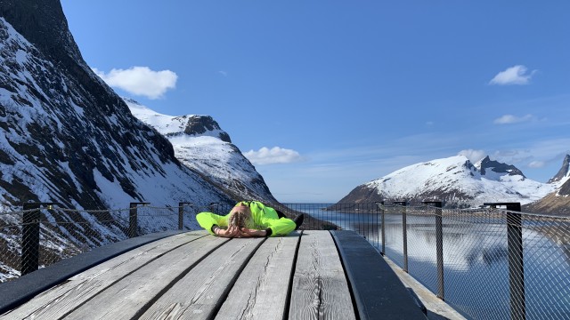
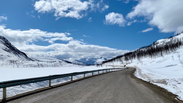
It was a pleasant and easy long distance day, with an amazing weather all the way and of course amazing landscapes. We rode 120km at the average speed of 15km/h.
This is great because it teaches me how to ride at a peaceful rythme, and mostly because it’s good to share the road with others, especially those ones.
The route wasn’t the one I planned because there is no ferry at Gryllefjord. The route we choose make a detour of maybe 50km. But it was worth it.
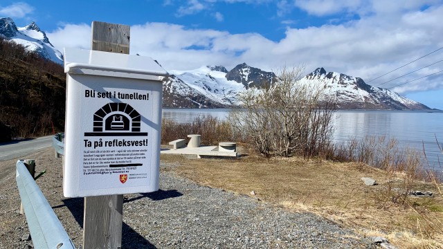
We ended the day close to the ferry dock, by pitching our tents just aside of a pick nick table to enjoy our diner in front of the sea.
